STAKEHOLDER ENGAGEMENT
KADGIS Stakeholder engagement meeting on 21st July features three different meetings with the first about…
The KADGIS Project is a response to the immediate need to provide Kaduna State with a modern and efficient land administration backed by automated systems and a fully trained staff that can produce secure land titles and increase Internally Generated Revenue (IGR).
Strategically KADGIS will gather, collate and digitise all geospatial data, store this information in a central database, and, through the KADGIS Service Centre, deliver products including maps, reports and analysis, supporting informed decision in all Kaduna State Ministries, Departments and Agencies (MDA).
Over 50 civil servants were posted to the KADGIS Annex on Tuesday 1st March and operations have begun with mass data capture activities and the commencement of the transfer of land files, survey files and maps into the new archive.
KADGIS will eventually have over 340 staff with 280 computer seats and will be the largest GIS agency in Nigeria.

KADGIS Stakeholder engagement meeting on 21st July features three different meetings with the first about…
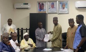
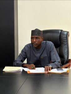
The Director General of KADGIS Dr. Bashir Garba Ibrahim on Monday 20th July presented offer…